Connections to Land and Water
Lake Superior, the northern and westernmost of the Laurentian Great Lakes, is a shared resource between the United States, Canada, and many Tribal Nations. Lake Superior borders the U.S. states, Michigan, Minnesota, Wisconsin, and the Canadian province of Ontario.The drainage basin includes portions – more than 49,300 square miles – of land among all of these regions.
Lakes are often described by their volume—the amount of water they contain—and their surface area—the space covered by water from all shores. Lake Superior holds the title of the largest Laurentian Great Lake by both volume and surface area. On a global scale, Lake Superior ranks as the third largest freshwater lake by volume behind Lake Baikal in Eurasia and Lake Tanganyika in eastern Africa. By surface area, it is the world’s largest lake.

Lake Superior’s northern location, impressive size, and deep waters contribute to it being the coldest among the Laurentian Great Lakes. Lake Superior is the least affected by invasive species, habitat degradation, and human-driven changes in part because it is the least populated and developed by people. The cool climate of the region, bedrock geology, and nutrient poor waters also make Lake Superior more resilient.

Lake Superior’s watershed includes many communities. All of the area shaded around Lake Superior drains into the lake.
Like all lakes, Lake Superior water levels change due to the amount of water entering and leaving the lake. More than 200 rivers flow into Lake Superior, so there are multiple sources for water entering the lake. Around forty percent of Lake Superior’s water comes from tributaries, more than fifty percent comes from direct precipitation onto the lake surface, and an additional four percent comes from man-made diversions from Hudson Bay.
The outlet for Lake Superior is the Saint Marys River which connects the southeast corner of Lake Superior to Lake Huron. This river also serves as the border between the Canadian province of Ontario and the region known as the upper peninsula of Michigan within the United States.
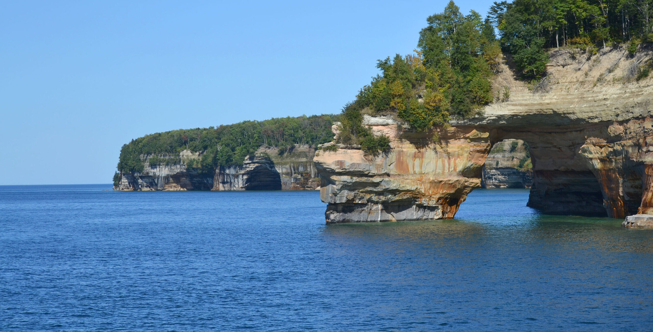
Lake Superior is really big.
- Three quadrillion gallons of freshwater: Lake Superior has more than enough water to fill all the other Great Lakes and even an extra three Lake Eries!
- +2,500 miles of shoreline: Lake Superior connects to 2,726 miles of shoreline, including more than 400 islands. If you were to drive along Lake Superior’s coast, it would be about the same distance as driving from Duluth, Minnesota to Miami, Florida.
- +31,000 square miles: Lake Superior’s surface area is 31,700 square miles (or 82,102 square kilometers) which is about half as big as the state of Florida.
- +190 years: Because of Lake Superior’s size and depth, its retention time (amount of time a water droplet stays within a lake) is estimated to be 191 years.
Lake Superior: Fast Figures
- Shoreline length: 2,726 mi (4,385 km), including islands
- Length: 350 mi (563 km)
- Length is measured as the longest single direction across a lake. For Lake Superior, this path is east-west.
- Breadth: 160 mi (257 km)
- Breadth is the shortest cross-section distance across a lake. For Lake Superior, this path is north-south.
- Elevation: 600 ft (183 m) above sea level
- Average depth: 483 ft (147 m) measured at low water
- Maximum depth: 1,332 ft (406 m) measured at low water
- Volume: 2,900 cubic mi (12,088 cubic km) measured at low water
- Water surface area: 31,700 square mi (82,103 square km)
- Drainage basin area: 49,300 square mi (127,686 square km)
- Outlets: St. Marys River to Lake Huron
- Replacement time: 191 years
- Population in watershed: 607,121 people
- U.S. population: 444,000 people
- Canada population: 229,000 people
Connections to Stewards of the Lake
Indigenous peoples have long been stewards of Lake Superior (Anishinaabewi-gichigami), and they help ensure the lake’s life-giving resources remain abundant and cared for much like family. Traditional ecological knowledge (TEK) encompasses the dynamic relationship between all living things and the environment they share.
This knowledge continues to be passed from one generation to the next. Examples of TEK are the traditional teachings, way of life, and interwoven relationship of fishing, agriculture, land management, cultural values, oral history and connection to land. An example of traditional teaching is that in addition to all the beings in and around the water, the waters themselves are considered relatives.
Today, many people live, work, and play in the Lake Superior watershed. Shipping, tourism, and recreation are all significant contributors to the regional economy, drawing visitors from near and far to explore its shores, islands, and waters. Although Lake Superior is the largest Great Lake, it has the smallest human population –and includes the twin port cities of Duluth, Minnesota, and Superior, Wisconsin. Other cities along Lake Superior include Thunder Bay, Ontario; Marquette, Michigan; and two cities both named Sault Ste. Marie one in Michigan and the other in Ontario.
Great Lakes Sea Grant Network partners, through CGLL, support educators engaging youth in Lake Superior stewardship with professional learning and resources. By working together, our collective efforts can help protect Lake Superior.
CGLL Partners Serving the
Lake Superior Watershed
If you teach or learn in the Lake Superior watershed, our CGLL Sea Grant educator team is eager to collaborate with you! The Minnesota, Wisconsin, and Michigan Sea Grant programs offer leadership, educational programs, and resources tailored to Lake Superior.


References
- Boissoneault, L. (2020). Conflicted Over Copper: How the mining industry developed around Lake Superior. Great Lakes Now. | LINK
- Environmental Protection Agency. (2023). Physical Features of the Great Lakes. | LINK
- Habermann, R., Moen, S., & Stykel, E. (2012). Superior Facts. Minnesota Sea Grant (pub. 825), Duluth, Minn. | LINK
- Hecky, R.E., Dobiesz, N., Axler, R.P., Host, G.E., Brown, T.N., Will, N., & Hagley, C. (2014). Global Great Lakes: Integrating yesterday, today and tomorrow and transforming environmental data into anticipatory ecosystem management. University of Minnesota Duluth. | LINK
- International Association for Great Lakes Research (IAGLR). (n.d.). Large lakes of the world. | LINK
- National Oceanic and Atmospheric Administration (NOAA) Great Lakes Environmental Research Laboratory (GLERL). (2009). Lake Superior food web. | LINK
- National Oceanic and Atmospheric Administration (NOAA). (n.d.) National marine ecosystem status: Lake Superior. LINK.
- Sapper, S. & Dray, C. (2022). Wisconsin Department of Natural Resources Lake Superior state-licenced commercial fishery report 2021. | LINK
- Schroeder, B., O’Keefe, D., & Dann, S. (2019). The Life of the Lakes: A guide to the Great Lakes fishery. (4th Ed., pp. 20). University of Michigan Press. | LINK
- Tushingham, A. M., & Peltier, W. R. (1992). Validation of the ICE-3G model of Würm-Wisconsin deglaciation using a global database of relative sea level histories. Journal of Geophysical Research: Solid Earth, 97(B3), 3285–3304. | LINK
- United States Environmental Protection Agency (EPA). (2023). Lake Superior. | LINK
- Wheeler, M., Wick, M., Hollenhorst, T., Cooney, E., Bernthal, T., Magyera, K., & the Lake Superior Collaborative. (2022). Review and recommendations for slow the flow practices in Wisconsin’s Lake Superior basin. Wisconsin Department of Natural Resources. | LINK


