Connections to Land and Water
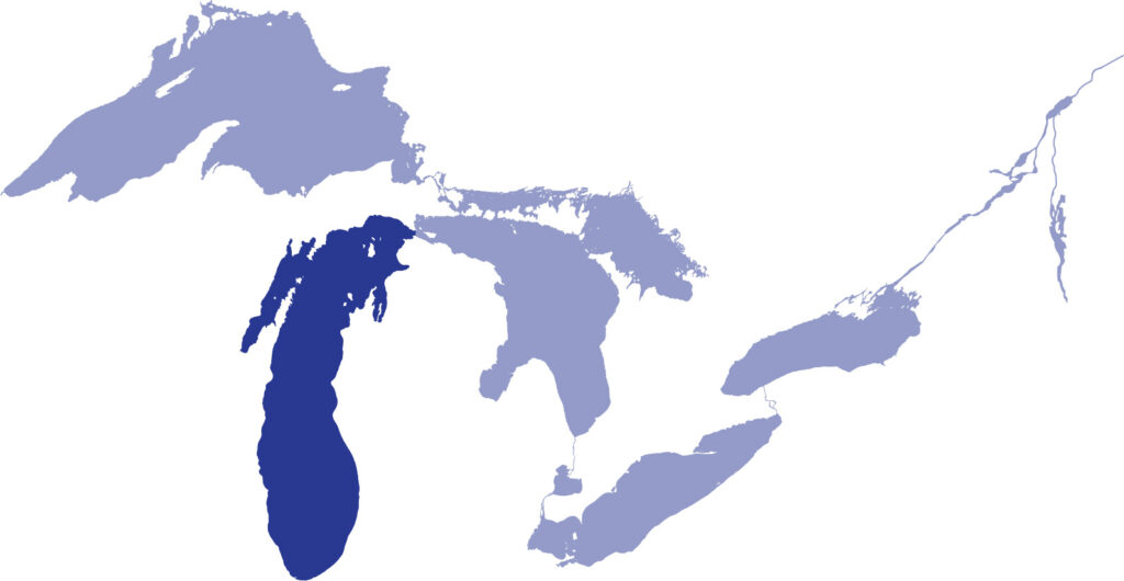
Lake Michigan is the only Great Lake entirely contained within the United States. The lake borders Michigan, Wisconsin, Illinois, and Indiana. Connected to Lake Huron through the Straits of Mackinac, the two lakes technically behave like one big body of water with the same water surface elevation.
Lakes are often described by their volume—the amount of water they contain—and their surface area—the space covered by water from all shores. Lake Michigan is the second largest Great Lake by volume – and the third largest by surface area. On a global scale, Lake Michigan ranks as the fifth largest freshwater lake by surface area.
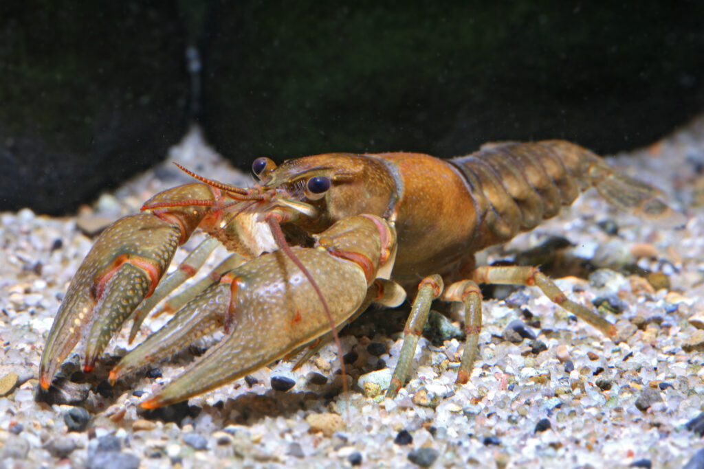
Lake Michigan’s main basin contains cold, clear, nutrient-poor water, which provides good habitat for trout, salmon, whitefish, and other coldwater species. The amount of food available in open water has dropped in recent years following the introduction of invasive mussels from ballast water and shipping vessels.
Lake Michigan still has the largest sport fishery on the Great Lakes. Besides its world-class trout and salmon fisheries, the lake also supports substantial commercial whitefish fisheries.
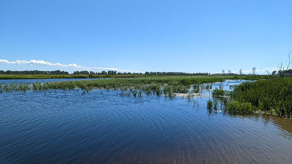
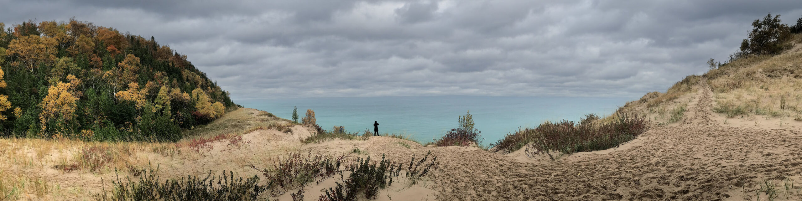
Lake Michigan connects to 1,659 miles of shoreline. The Lake Michigan watershed is a mix of residential, agricultural, and forested land with the majority of undeveloped land found in the northern part. There are varied habitats across Lake Michigan’s shoreline including sandy beaches, dune systems, bluffs, and more.
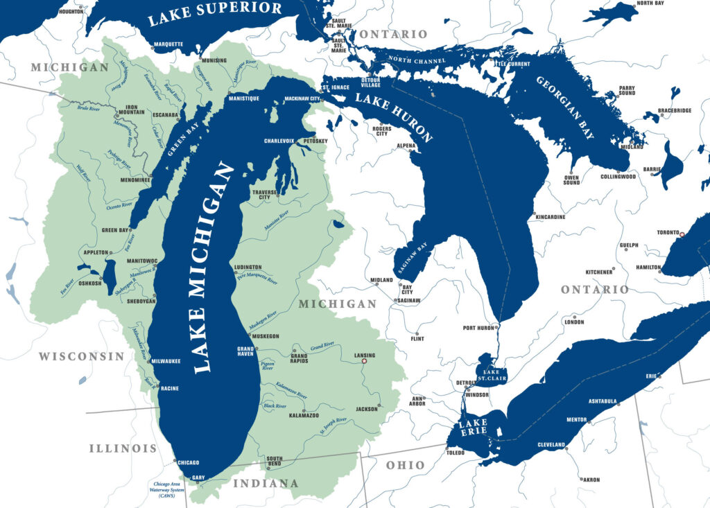
Lake Michigan’s watershed includes many communities. All of the area shaded around Lake Michigan drains into the lake.
Only a relatively small amount of water flows out the bottleneck at the straits between Michigan and Huron, so Michigan holds its water for a long time — nearly 100 years.
Lake Michigan boasts many destinations attracting visitors and residents to its shoreline.
- The rocky points, islands, and protected bays of northern Lake Michigan are a draw for communities along Wisconsin’s Door Peninsula and Michigan resort towns like Petoskey and Traverse City.
- Sandy beaches and dunes stretch along most of Lake Michigan’s eastern shore from Indiana Dunes National Lakeshore in the south to Sleeping Bear Dunes National Lakeshore in the north. Sleeping Bear Dunes is the world’s largest freshwater dune system.
- Like other Great Lakes, there are many shipwrecks in Lake Michigan. Designated in 2021, the Wisconsin Shipwreck Coast National Marine Sanctuary provides stewardship of our maritime and cultural resources in Lake Michigan.
Lake Michigan: Fast Figures
- Shoreline length: 1,659 mi (2,669 km), including islands
- Length: 307 mi (494 km)
- Length is measured as the longest single direction across a lake. For Lake Huron, this path is north-south.
- Breadth: 118 mi (190 km)
- Breadth is the shortest cross-section distance across a lake.
- Elevation: 579 ft (176 m) above sea level
- Average depth: 279 ft (85 m) measured at low water
- Maximum depth: 923 ft (281 m) measured at low water
- Volume: 1,180 cubic mi (4,918 cubic km) measured at low water
- Water surface area: 22,300 square mi (57,753 square km)
- Drainage basin area: 45,600 square mi (118,095 square km)
- Outlets: Straits of Mackinac to Lake Huron
- Replacement time: 62 years
- Population in watershed: U.S. population: 12+ million people
- Lake Michigan watershed is located completely in the United States.
- Includes metropolitan Chicago, which is not part of the drainage basin, but uses Lake Michigan for drinking water.
Connections to Stewards of the Lake
Indigenous peoples have long been stewards of Lake Michigan (Ininwewi gichigami), and they help ensure the lake’s life-giving resources remain abundant and cared for much like family. Traditional ecological knowledge (TEK) encompasses the dynamic relationship between all living things and the environment they share.
This knowledge continues to be passed from one generation to the next. Examples of TEK are the traditional teachings, way of life, and interwoven relationship of fishing, agriculture, land management, cultural values, oral history and connection to land. An example of traditional teaching is that in addition to all the beings in and around the water, the waters themselves are considered relatives.
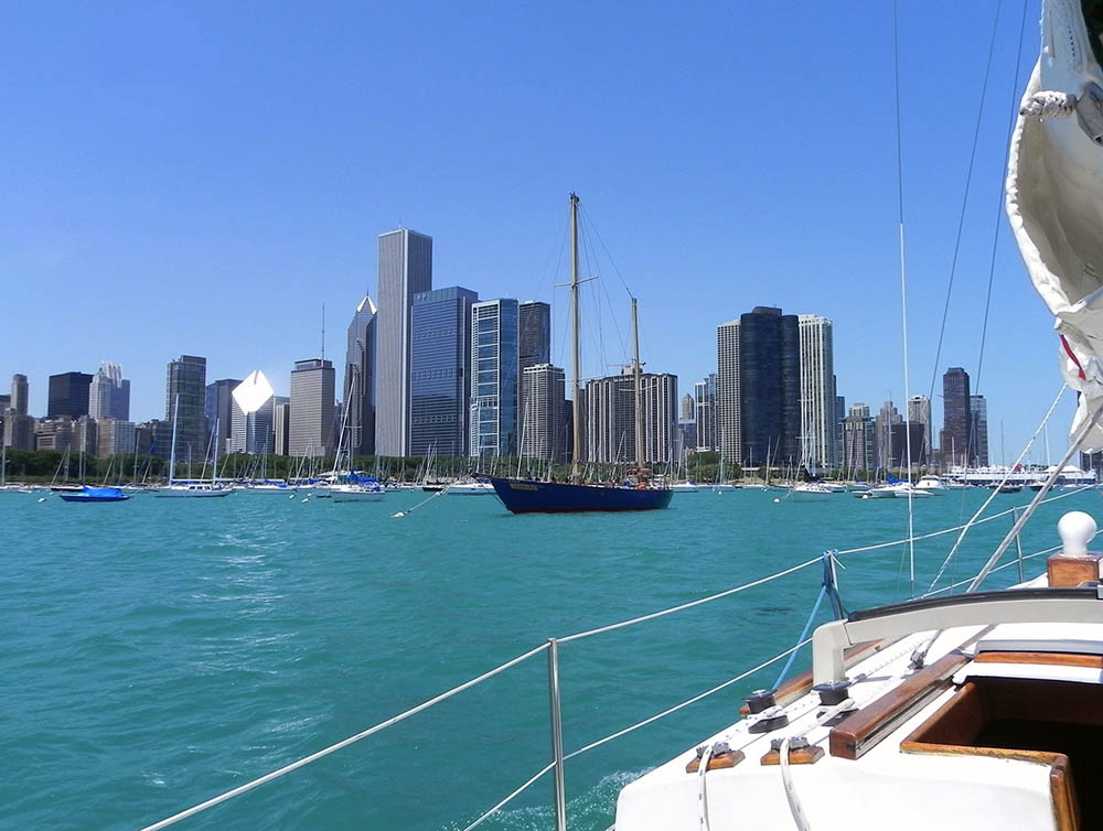
Today, many people live, work, and play in the Lake Michigan watershed. Tourism and fishing, both recreational and commercial, are important elements of the Lake Michigan economy. After Lake Erie, the Lake Michigan basin has the second highest population. Major urban centers – including Chicago, IL and Milwaukee, WI – rely on the lake for shipping, municipal, and industrial water use.
Great Lakes Sea Grant Network partners, through CGLL, support educators engaging youth in Lake Michigan stewardship with professional learning and resources. By working together, our collective efforts can help protect Lake Michigan.
References
Environmental Protection Agency. (2023). Physical Features of the Great Lakes. | LINK
Hecky, R.E., Dobiesz, N., Axler, R.P., Host, G.E., Brown, T.N., Will, N., & Hagley, C. (2014). Global Great Lakes: Integrating yesterday, today and tomorrow and transforming environmental data into anticipatory ecosystem management. University of Minnesota Duluth. | LINK
National Oceanic and Atmospheric Administration (NOAA). (2023) National marine ecosystem status: Lake Michigan. | LINK
Schroeder, B., O’Keefe, D., & Dann, S. (2019). The Life of the Lakes: A guide to the Great Lakes fishery. (4th Ed.). University of Michigan Press. | LINK
CGLL Partners Serving the
Lake Michigan Watershed
If you teach or learn in the Lake Michigan watershed, our CGLL Sea Grant educator team is eager to collaborate with you! The Illinois-Indiana, Wisconsin, and Michigan Sea Grant programs offer leadership, educational programs, and resources tailored to Lake Michigan.