Connections to Land and Water
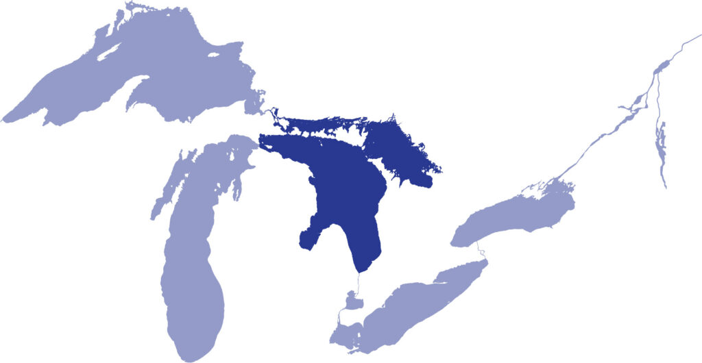
Lake Huron is shared between the United States and Canada providing many environmental, economic and social benefits. It borders Michigan and the Canadian province of Ontario. It connects to Lake Michigan through the Straits of Mackinac, a deep trench that links the two lakes, causing them to function hydrologically as one large water body.
Lakes are often described by their volume—the amount of water they contain—and their surface area—the space covered by water from all shores. Spanning the straits, the Mackinac Bridge connects Michigan’s lower and upper peninsulas. At 5 miles long, it is the third longest suspension bridge in the world.
At its southern tip, Lake Huron drains into the St. Clair River, flows through Lake St. Clair, and then continues into the Detroit River, eventually emptying into Lake Erie. This waterway, stretching over 90 miles, has a minimal elevation difference between the lakes of just nine feet.

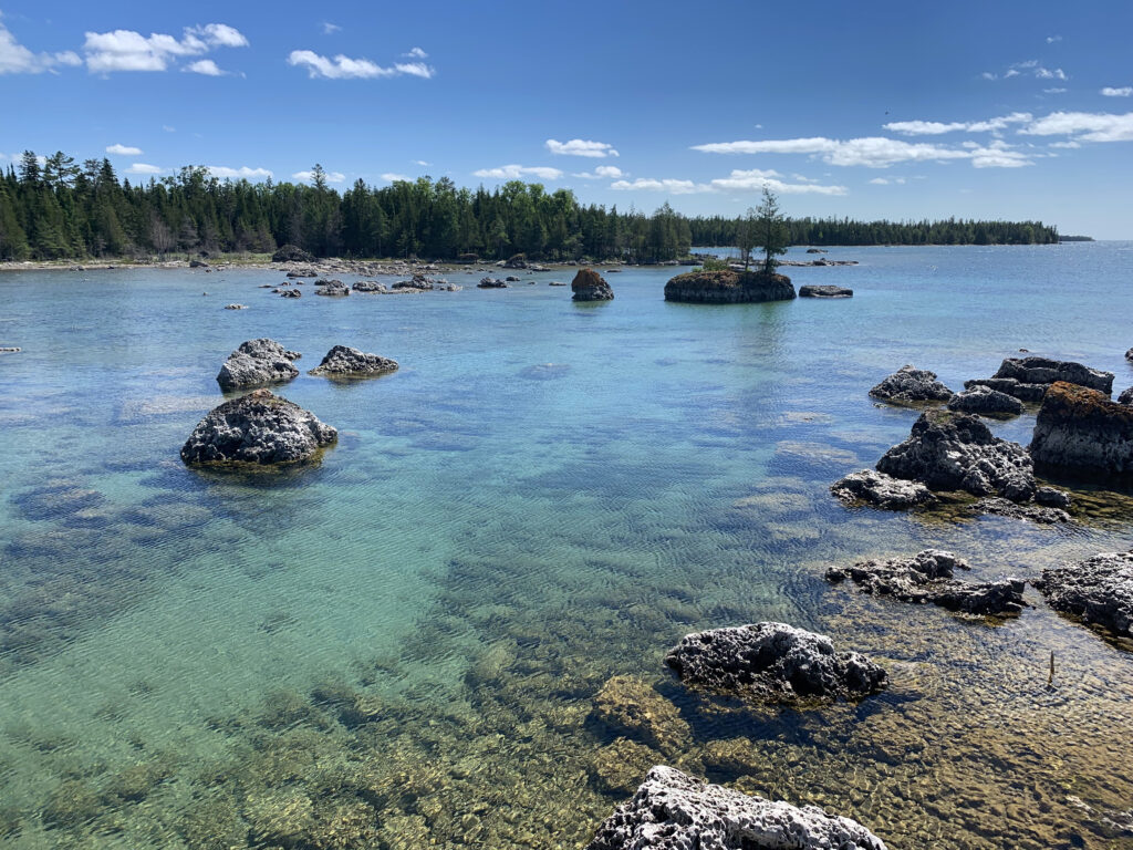
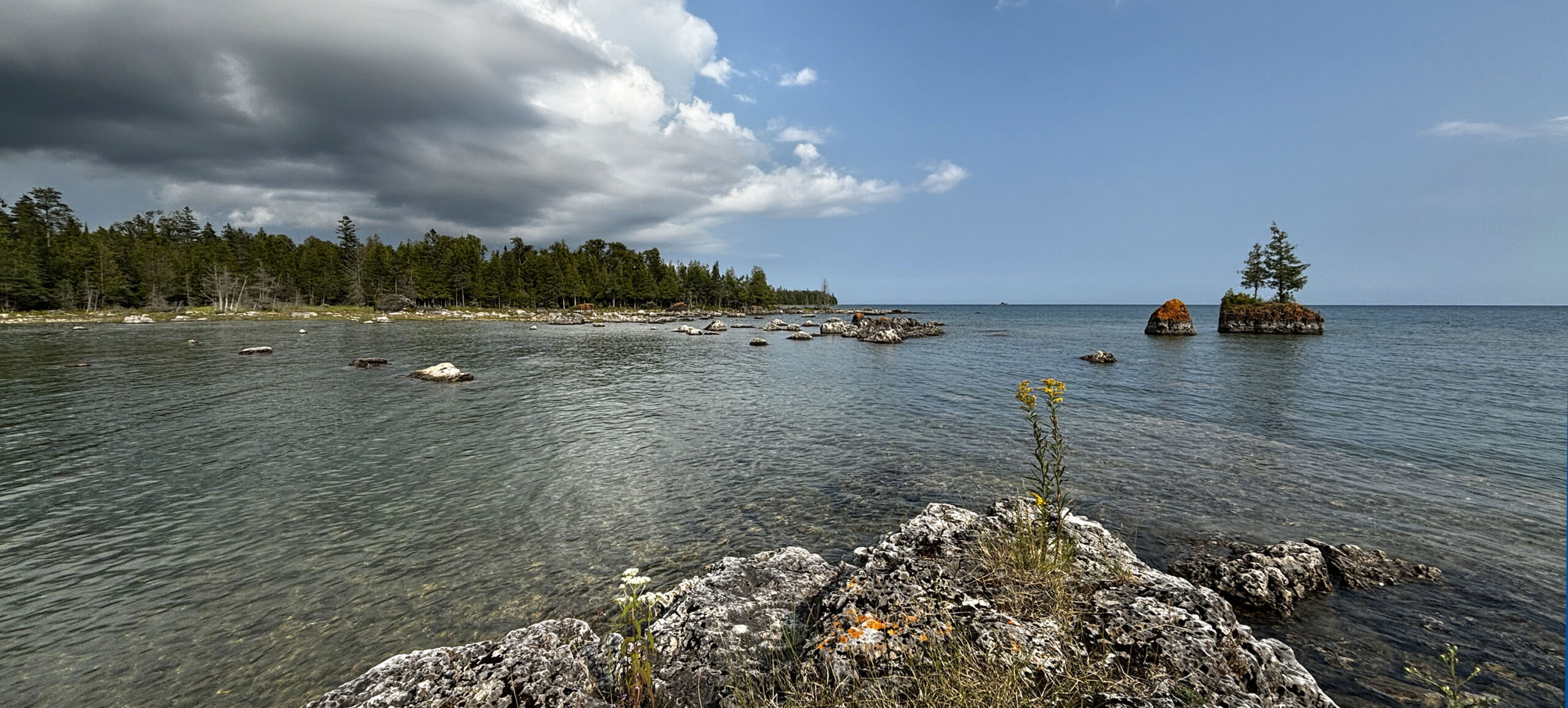
In northern Lake Huron, features like the lower St. Marys River, the Les Cheneaux Islands, Georgian Bay, and the North Channel create a range of habitats from deep, cold channels to island complexes to shallow, vegetated bays and coastal wetlands. These areas, along with high-quality tributary streams, offer essential spawning and nursery habitats for many fish species, both native and introduced. Further south, Saginaw Bay is shallow, warm, and nutrient-rich compared to the main lake.
Lake Huron’s watershed includes many communities. All of the area shaded around Lake Huron drains into the lake.
The majority of Lake Huron’s water, about 90 percent, comes from tributaries, such as the St. Marys River, the Thunder Bay River, and the Saginaw River, along with precipitation. The remaining 10 percent comes from the flow of water from Lake Michigan through the Straits of Mackinac, as well as direct rainfall on the lake’s surface.
Lake Huron’s primary outlets are the St. Clair River and the Detroit River. A drop of water entering Lake Huron from the St. Marys River could take around 3-4 years to flow through the entire system to the Detroit River and eventually enter Lake Erie.
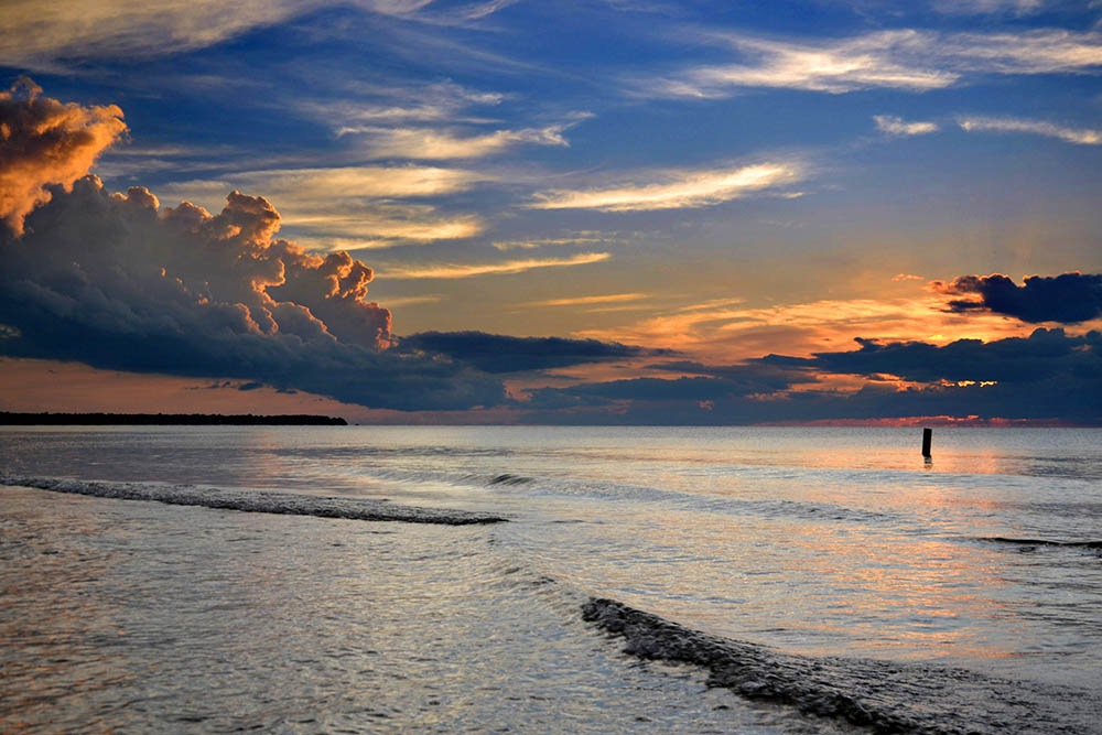
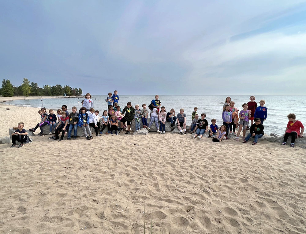
Lake Huron boasts many destinations attracting visitors and residents to its shoreline including so many islands.
- More than 30,000 islands can be found in Lake Huron – including Manitoulin Island.
- Manitoulin Island is the largest freshwater island in the world. On that island, there is Manitoulin Lake. In that lake, there is an island, which is the largest island on a lake on an island in a lake in the world!
- Lake Huron is also rich in maritime history, with many shipwrecks in its waters. The Thunder Bay National Marine Sanctuary, designated in 2000, protects over 200 shipwrecks off Alpena’s coast, preserving the region’s cultural heritage.
Lake Huron: Fast Figures
- Shoreline length: 3,827 mi (6,159 km), including islands
- Length: 206 mi (332 km)
- Length is measured as the longest single direction across a lake. For Lake Huron, this path is north-south.
- Breadth: 183 mi (295 km)
- Breadth is the shortest cross-section distance across a lake. For Lake Huron, this path is east-west.
- Elevation: 577.5 ft (176 m) above sea level
- Average depth: 195 ft (59 m) measured at low water
- Maximum depth: 750 ft (229 m) measured at low water
- Volume: 850 cubic mi (3,543 cubic km) measured at low water
- Water surface area: 23,000 square mi (59,570 square km)
- Drainage basin area: 51,700 square mi (133,902 square km)
- This total includes the St. Marys River.
- Outlets: St. Clair River to Lake Erie
- Replacement time: 22 years
- Population in watershed: ~3 million people
- U.S. population: ~1.5 million people
- Canada population: ~1.5 million people
Connections to Stewards of the Lake
Indigenous peoples have long been stewards of Lake Huron (Naadowewi-gichigami), and they help ensure the lake’s life-giving resources remain abundant and cared for much like family. Traditional ecological knowledge (TEK) encompasses the dynamic relationship between all living things and the environment they share. This knowledge continues to be passed from one generation to the next. Examples of TEK are the traditional teachings, way of life, and interwoven relationship of fishing, agriculture, land management, cultural values, oral history and connection to land. An example of traditional teaching is that in addition to all the beings in and around the water, the waters themselves are considered relatives.
Today, many people live, work, and play in the Lake Huron watershed. Tourism and fishing, both recreational and commercial, are important elements of the Lake Huron economy. Many industries rely on the lake for shipping, municipal, and industrial water use.
Great Lakes Sea Grant Network partners, through CGLL, support educators engaging youth in Lake Michigan stewardship with professional learning and resources. By working together, our collective efforts can help protect Lake Michigan.
References
Environmental Protection Agency. (2023). Physical Features of the Great Lakes. | LINK
Hecky, R.E., Dobiesz, N., Axler, R.P., Host, G.E., Brown, T.N., Will, N., & Hagley, C. (2014). Global Great Lakes: Integrating yesterday, today and tomorrow and transforming environmental data into anticipatory ecosystem management. University of Minnesota Duluth. | LINK
National Oceanic and Atmospheric Administration (NOAA). (2023). National marine ecosystem status: Lake Huron. | LINK
Schroeder, B., O’Keefe, D., & Dann, S. (2019). The Life of the Lakes: A guide to the Great Lakes fishery. (4th Ed.). University of Michigan Press. | LINK
CGLL Partners Serving the Lake Huron Watershed
If you teach or learn in the Lake Huron watershed, our CGLL Sea Grant educator team wants to collaborate with you! The Michigan Sea Grant program offers leadership, educational programs, and resources tailored to Lake Huron.